Metes and Bounds: Describes the property boundaries with detailed directions and distances.
Lot and Block: Found in subdivisions, this describes your property’s specific lot number within a platted area.
The deed may also refer to the placement of iron stakes or pins that were set when the property was first surveyed.
Step 2: Locate an Official Property Survey
A property survey is a detailed map created by a licensed surveyor that outlines the exact dimensions and boundaries of your land. If you don’t have a copy of a survey, your local records office or county clerk may have it on file. The survey shows not only the property lines but also the locations of any buildings, driveways, and iron stakes (also called “corner monuments” or “property markers”).
The survey will be an essential reference for finding your property lines and identifying the positions of the iron stakes on the ground.
Step 3: Use a Metal Detector to Find Iron Stakes
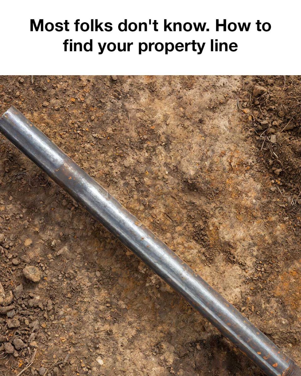
When land is first surveyed and divided into lots, surveyors often install iron stakes at the corners of each property. These stakes, typically metal rods driven into the ground, serve as permanent markers for the boundaries. Over time, however, these stakes may become buried under dirt, grass, or landscaping, making them hard to find.
Here’s how to locate the iron stakes:
Rent or Borrow a Metal Detector: Since iron stakes are buried, a metal detector is the most efficient way to find them. You can rent or borrow one from hardware stores or specialized equipment rental shops.
Use the Survey to Identify Stake Locations: The property survey will show approximate distances from one corner of your property to another. Using these measurements, walk to the general area where the iron stakes should be located.
Sweep the Ground: Slowly sweep the metal detector over the ground near the expected stake locations. Metal detectors typically emit a beep or buzz when they detect metal underground. Start close to the ground and work methodically to cover a wide area.
Dig Carefully: If the detector picks up a signal, use a shovel to carefully dig around the area. Iron stakes are typically buried just below the surface, but depending on time and landscaping, they may be a few inches deep.
What If You Can’t Find the Stakes?
If the stakes have corroded or were never placed (this can happen on older properties), it might be difficult to locate them. In this case, you might need to hire a licensed surveyor to install new stakes or resurvey the property.
Step 4: Use GPS Apps and Online Tools (Supplemental Method)
While iron stakes are the most accurate way to pinpoint your property lines, modern technology can offer some helpful supplements. Various online tools and apps, like the GIS mapping systems (Geographic Information System), can show you a rough idea of your property lines.
Many counties and municipalities have public GIS mapping systems available online. These maps are usually based on surveys and official property records. Some popular mobile apps that provide access to public property information include:
LandGlide
OnX Hunt
Regrid
Using GPS isn’t always precise down to the inch, but it’s a helpful tool to get a general idea of your property boundaries before locating the exact points with a metal detector and iron stakes.
Step 5: Mark Your Property Lines
Once you’ve located your iron stakes, you can make your property lines more visible by using flags, stakes, or temporary fencing to outline them. This will be helpful when planning construction, planting, or marking areas for any legal purposes.
Step 6: Hire a Professional Surveyor (If Necessary)
If you’re unable to locate iron stakes or if your property lines are still unclear, it’s wise to hire a professional surveyor. A surveyor will conduct a thorough assessment of your property, find (or place) corner markers, and provide you with a new survey. While this may come with a cost, it ensures that you have accurate and legally recognized boundaries.
Finding your property lines can be a relatively simple process when armed with the right tools and knowledge. The iron stakes installed during the property’s initial survey are the most accurate markers of your boundary lines.
By following the steps above—reviewing your deed and survey, using a metal detector to locate the iron stakes, and leveraging modern technology when necessary—you can confidently find your property lines and avoid costly disputes or mistakes. If all else fails, professional surveyors are always there to help.
Knowing your property boundaries gives you peace of mind, ensuring that any home improvement project or land use remains within your rights.

